Museum Altes Land
This road is known as Westerjork, because it takes us west from the centre of Jork. Osterjork, on the other side of town, leads us out eastwards from the centre. Both roads developed a very similar appearance and were first mentioned in writing in the 14th century: in dat Westen and in dat Osten. They are both typical canal routes that were built from the clay soil that was dug up to build the canals that ran parallel on both sides. Originally the thoroughfares were extremely rough and uneven, but this was not a hindrance as, in any case, the people of the Altes Land used the canals more frequently than the roads.
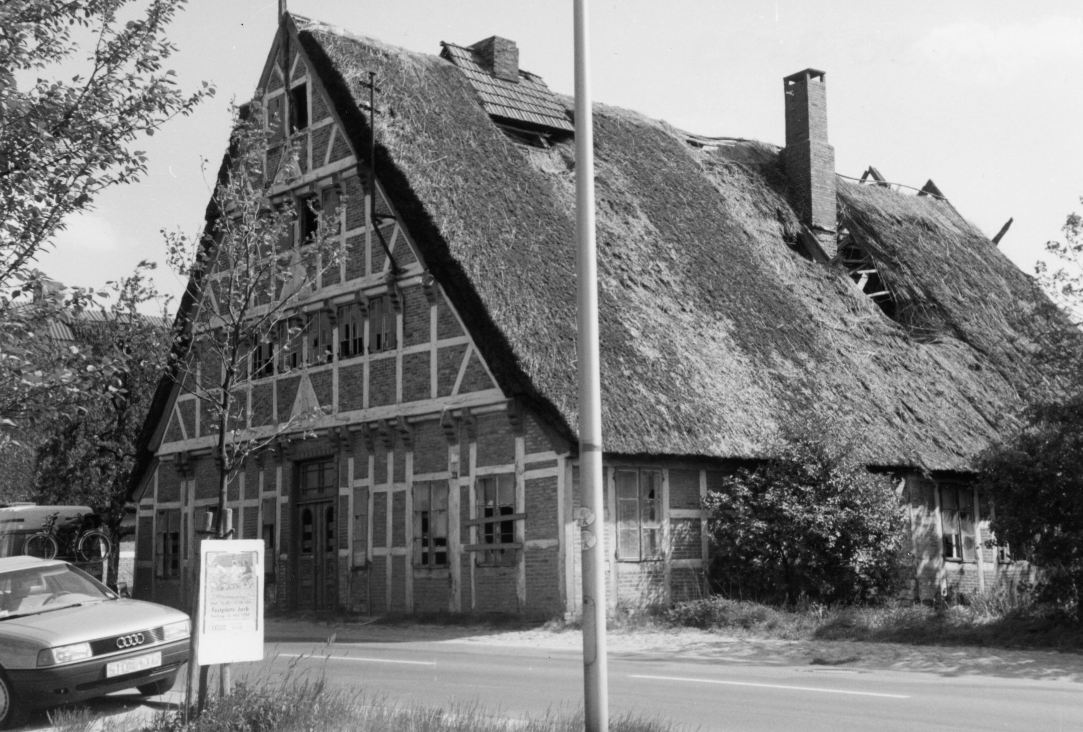
The farmers laid stones across the paths, so they could reach their barges with dry feet, but that made the roads even more uneven. During King George V of Hanover’s visit in 1862, the stones had to be removed and the route made into a road that would accommodate the royal coach. Up until the early 1960s the road was still narrow and cobbled. On the photograph we can see that each farmhouse has a well-to-do and well-looked-after gable, a typical thatched roof, and was built right onto the road. In 1961 Westerjork’s image changed entirely: the trees were felled, the canals filled in, the road widened and asphalted over. And the same fate awaited the Osterjork road a year later. Due to this, many old buildings and the essential appearance and structure of the town centre unfortunately had to be relinquished.
But why not take the opportunity to visit the Museum Altes Land and learn more about this region? It’s just 100 metres away. Or you can cut through the Kurze Straße to Location 10 in Westerminnerweg.